Posts

Copernicus Marine for the Aquaculture Sector first

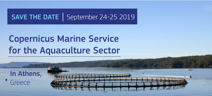
The European Aquaculture Technology & Innovation Platform (EATIP) and Mercator Ocean International, organize in September 24 – 25 in Athens, Greece, an event entitled:

Copernicus Marine Service Workshop & Training for the Aquaculture Sector


The objectives are to :

– Allow the aquaculture community to share issues they are facing regarding the management of aquaculture farms.
– Show how the Copernicus Marine Service might contribute to tackle current and future challenges.


Interested in this event and these topics ?

Help us to organize this event by answering the following questionnaire. The analysis of answers to this questionnaire will help the organizers to define the agenda of the event and follow your expectations.

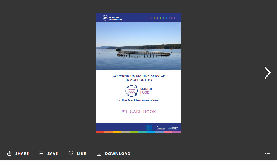
To understand the benefits & impacts brought by the Copernicus Marine Service in the “Marine Food” sector, find a selection of examples of marine applications developed by intermediate users in the following Use Case Book:

Mediterranean Sea – Marine Food
USE CASE BOOK

Click to the image below. Then click to fullscreen mode for a better visualization.
You can also download the Use Case Book.


If you have any questions about this event, please send an email to: event@mercator-ocean.fr


Copernicus for Fisheries and Aquaculture

On October 2nd, Alexandra Neyts participated at the Copernicus workshop in Brussels, organised by DG GROW and designed to profile the programme to its potential end users in the fisheries and aquaculture sector.

Copernicus is a data monitoring service, based on both satellite and in situ observations.  All marine issues are gathered under the Copernicus Marine Environment Monitoring Service (CMEMS). CMEMS may provide a suitable framework for the development of better models for aquaculture siting and licensing, and opportunities for collaboration with EATiP are being investigated.

Also, the FAO BlueBridge initiative may be of use to the aquaculture sector.  It is developing services to support the analysis of socio-economic performance in aquaculture, and supports capacity building through converting operation data into knowledge to improve companies’ efficiency, sustainability and profitability.

Finally, the “Support Aquaculture and Fisheries Industry” (SAFI) project, is about exploiting Earth Observation resources to support the industries in coastal regions.  A webGIS tool was developed based on registrations from satellites, in order to identify optimal site locations for fish farms.

For more information: http://copernicus.eu/fisheries-aquaculture-workshop